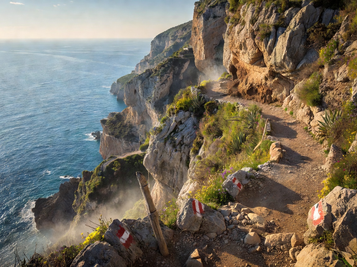
An Ancient Trail Suspended Between Heaven and Earth
Hovering more than 600 meters above the glittering Tyrrhenian Sea, Il Sentiero degli Dei (The Path of the Gods) is globally acclaimed as one of the most stunning coastal hikes on earth. Ancient Roman mythology claims that gods descended along these limestone ridges to reach the waters where the Sirens sang to Odysseus. Today, the trail connects traditional mountain settlements with terraced vineyards, rustic stone shepherd huts, and intoxicating views across the Sorrentine Peninsula toward Capri.
- Total Distance: 7.8 Kilometers (4.8 Miles)
- Difficulty Rating: Moderate (Rocky segments)
- Peak Elevation: 650m (Bomerano) to 440m (Nocelle)
- Best Season: April to June & September to November
Route Selection: Bomerano vs. Praiano Approach
For the quintessential downhill experience with uninterrupted sea panoramas ahead of you, starting in Bomerano (a fraction of Agerola accessible via SITA bus from Amalfi) is strongly advised. Walking from East to West keeps the breathtaking vistas of Positano and the Isle of Capri directly in your field of vision throughout the walk.
Hikers desiring a strenuous workout can initiate the ascent directly from Praiano or Positano, taking the punishing staircase past the Convent of San Domenico; however, this route entails tackling over 1,800 steep stone steps before joining the main ridge.
Essential Safety & Logistics Tip
The trail is exposed to direct midday sun and brisk ridge gusts. Carry at least 2 liters of drinking water, wear sturdy hiking boots with aggressive tread (limestone stones become slippery with dust), and avoid hiking during peak summer midday hours.
Key Landmarks Along the Ridge
1. Colle La Serra & The Grotta del Biscotto
Shortly after leaving the piazza in Bomerano, hikers arrive at the Grotta del Biscotto, a towering limestone cavern housing centuries-old cliffside dwellings built directly into geological fissures. This section provides an initial panoramic overlook of the deep Vallone delle Ferriere gorge.
2. The High vs. Low Route Fork
At Colle La Serra (580m), the trail splits into the High Route (Sentiero Alto) and Low Route (Sentiero Basso). The Low Route is universally preferred for its gentler gradient, clearer edge trails, and richer Mediterranean macchia foliage filled with wild rosemary, thyme, and myrtle bushes.
3. Arrival in Nocelle & The 1,700 Steps to Arienzo
The main footpath concludes in Nocelle, a serene hamlet untouched by vehicular traffic. Here, travelers can refresh at the beloved Lemon Point kiosk for freshly pressed pomegranate and Sfusato lemon slushies. From Nocelle, travelers can either board the local Mobilità Amalfi Coast shuttle down to Positano center or descend the famous 1,700 stone steps down to Arienzo Beach for an invigorating swim.
Official Hiking Resources
For live trail advisories and weather updates, consult the official municipal portals before setting out:
Comune di Agerola Official Portal (Official External Resource) →